GIS Day 2009
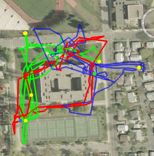
The geocaching exercise results as mapped in NASA Java World Wind. The blue, red, and green dots are where three teams placed their geocaches before we started. Yellow dots are warm-up cache locations. All cache locations were encountered within the half-hour provided - tracks made by each team color-coded.
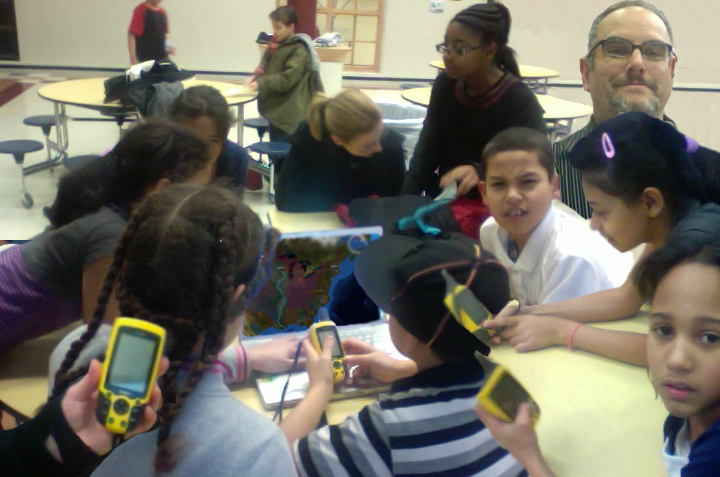
 A picture of the students and instructors reviewing their travels on paper maps:  |